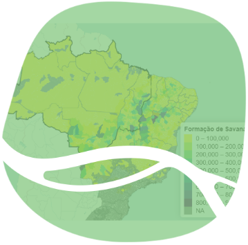
Map of Land Use and Cover by Municipality with the Outline of the Legal Amazon
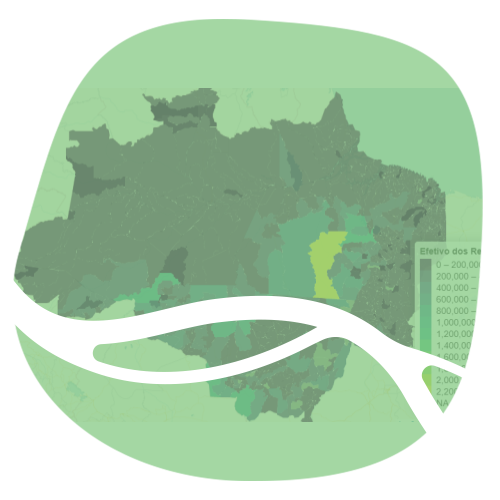
Map of Municipal Livestock Herds
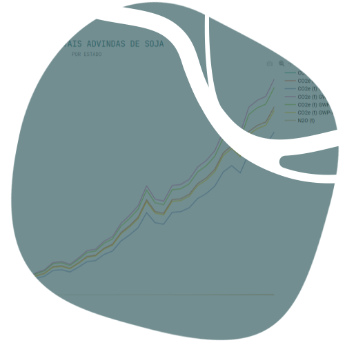
Time Series of Greenhouse Gas Emissions in Agriculture
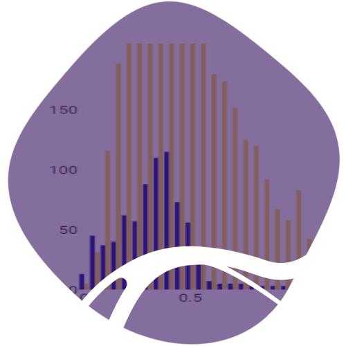
Histogram of the Number of Cattle per Hectare in Pasture Areas
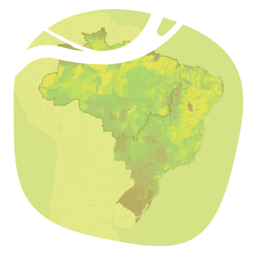
Cattle Heads and Pasture Area Map

Ranking of Land Use and Cover by Muncipality
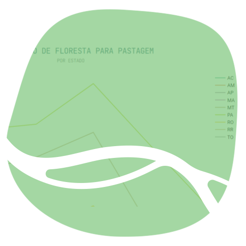
Time Series of Land Cover Transition in States
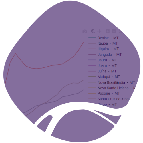
Municipalities’ Land Coverage Time Series

Time Series of Land Use and Cover Change by State